|
Mapping
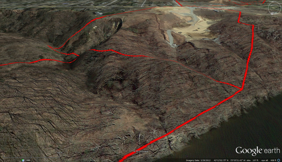
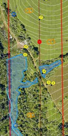
Successful natural resources management and stewardship requires accurate and informative mapping, as well as the ability to continuously collect and integrate new information. Water features, notable vegetation, infrastructure, stand boundaries, timber sale units, and invasive plant populations are some of the many features of interest that we collect data on, map, and present to the landowners. F&W provides extensive mapping services to all types of clients utilizing Geographic Information System (GIS) software. We take pride in our ability to present complex information in clear, concise, and data-rich maps. We can also help you find, mark, and maintain the boundaries of your property. We use online information from the State of Connecticut, your town's assessor, and in-person deed and survey research to determine the true boundaries and size of your property. To discuss a GIS or mapping project, please call 860-349-7007 or email fw@fwforesters.com. |
|